
Every boat leaving Orange Beach for the Gulf goes through the same gap in the sand.
Perdido Pass is the cut where Perdido Bay and the back bays empty into the Gulf of Mexico, under the high arch of the Perdido Pass Bridge on Highway 182. It is the only direct route to open water for most of the boats docked between Orange Beach and Gulf Shores, which is why on a Saturday morning in July it can look like a parade — center consoles, charter boats, pontoons, and somebody’s cousin on a jet ski, all funneling through the same few hundred feet of water.
The pass is stabilized by rock jetties, and it behaves like every inlet does: the water moves fast, the bottom shifts, and the sandbars are never quite where they were last season. Locals read it by eye. Visitors should read the markers, watch the tide, and stay out of the way of anything bigger than they are.
Why the map is drawn the way it is
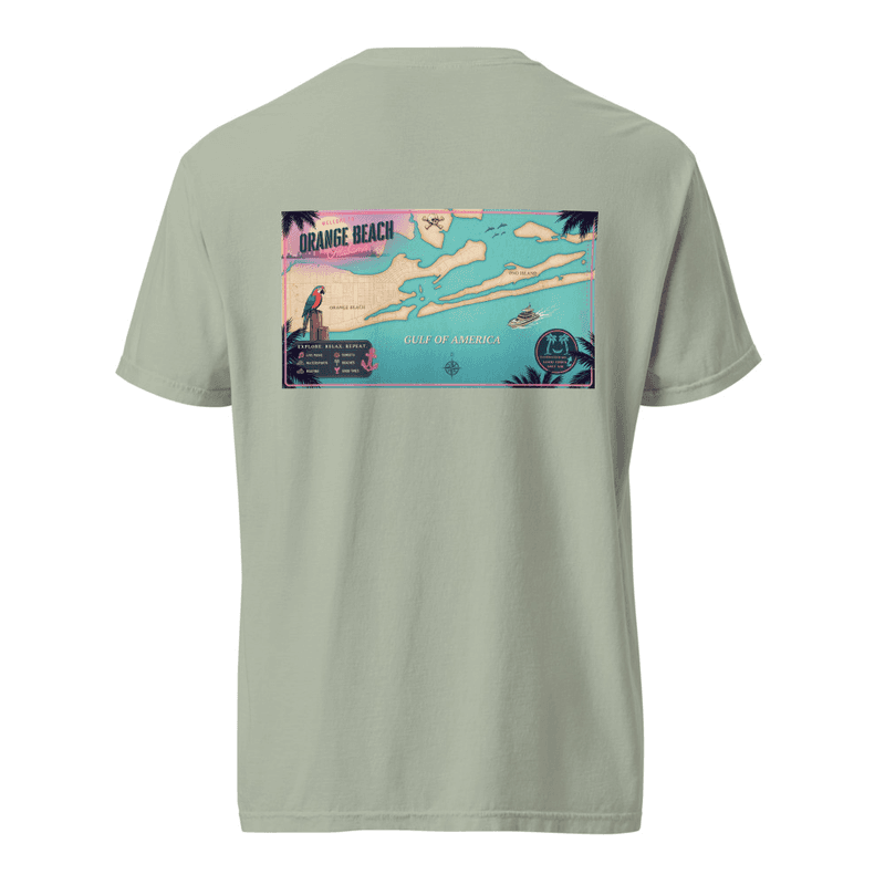
What makes this stretch of coast worth drawing is not the beach — every beach town has a beach. It is the shape of the water behind it. Come in off the Gulf and the geography opens up into something almost freshwater in feel: Terry Cove, Bay La Launch, the long protected channel of the Intracoastal Waterway, and Ono Island sitting in the middle of it all like a piece that fell off Florida.
Our Coastal Postcard design traces the real geometry of that: the pass, the barrier islands, the back bays, the channel markers. It is not a decorative squiggle of coastline. If you have run that water, you can find where you keep your boat.
What the pass means for the fishing
An inlet concentrates everything. Bait stacks up on the moving tide, and predators follow it, which is why the jetties hold fish more or less year-round while the surrounding beach can be empty. Run out of the pass and you are in Gulf water within minutes; keep going and the bottom drops toward the reefs and rigs that make this coast a serious offshore destination.
That short distance from dock to blue water is the whole reason Orange Beach has the charter fleet it does. It is also why so much of what we draw ends up being about fish, birds, and water rather than umbrellas.
If you are visiting
You do not need a boat to see it. The pass is visible from the bridge, from the beach on either side of the jetties, and from most of the restaurants clustered around the water at the north end. Sunset from that side of the bridge, looking back over the bays, is the view our first map was drawn from.